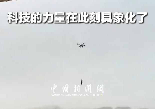
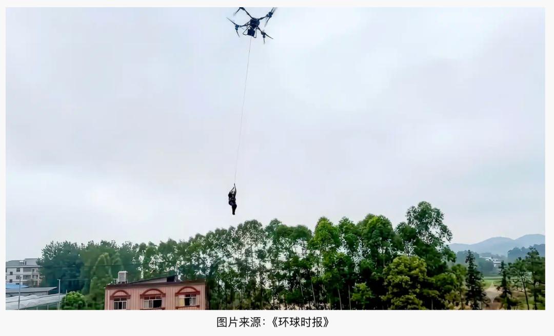
The video of a person being suspended by a drone in Guangxi went viral overseas, and many foreigners thought it was AI-generated.
A person is suspended dozens of meters above the ground, with raging floodwaters below and a massive drone hovering overhead. The first reaction from many overseas viewers was: "Is this real?"
Because the scene looks exactly like something out of a sci-fi movie.
Some people even posted on Reddit's dedicated AI verification section to ask: Is this heart-stopping flood rescue video real, or was it generated by artificial intelligence?
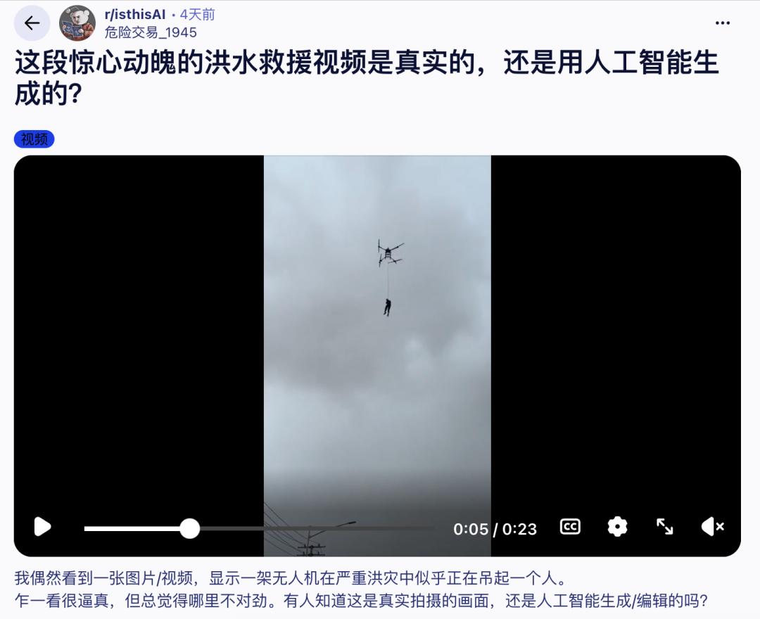
It's definitely not AI-generated. This is the actual flood rescue scene in Guangxi, where rescuers used large drones to evacuate trapped people. After the New York Times reported on this incident, it went viral wildly across overseas social media platforms.
"China is living in the future" — Indian media even used this headline for their coverage.
"Truly one of the coolest uses for drones I've ever seen."
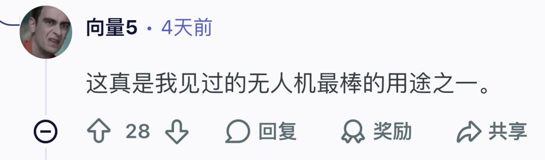
Some others raised a pointed question: Aren't drones not supposed to lift people?
01: It's Prohibited in Principle for Drones to Lift People
Under current regulations, any aircraft intended to carry people must undergo airworthiness certification from the Civil Aviation Administration of China and obtain an airworthiness certificate. Agricultural drones are designed for cargo transport, and they do not hold the airworthiness approvals required for manned operations. To put it simply: drones cannot carry people.
The core reason is safety.

There is an ironclad rule for manned aircraft: a failure in a single system must not jeopardize flight safety. Most airplanes have a second engine if the first one fails, backup hydraulic systems if the primary leaks, and even if all power is lost, the wings can still enable gliding.
Agricultural drones have none of these safeguards. If one motor malfunctions, the remaining motors can only try their best to compensate — whether the drone can stay stable is entirely down to luck. They also lack purpose-built safety cabins for humans and fall-arrest buffer systems.
When cargo is strapped underneath, the worst-case scenario if it falls is just a financial loss. But when a person is suspended below, there is no second chance for life.
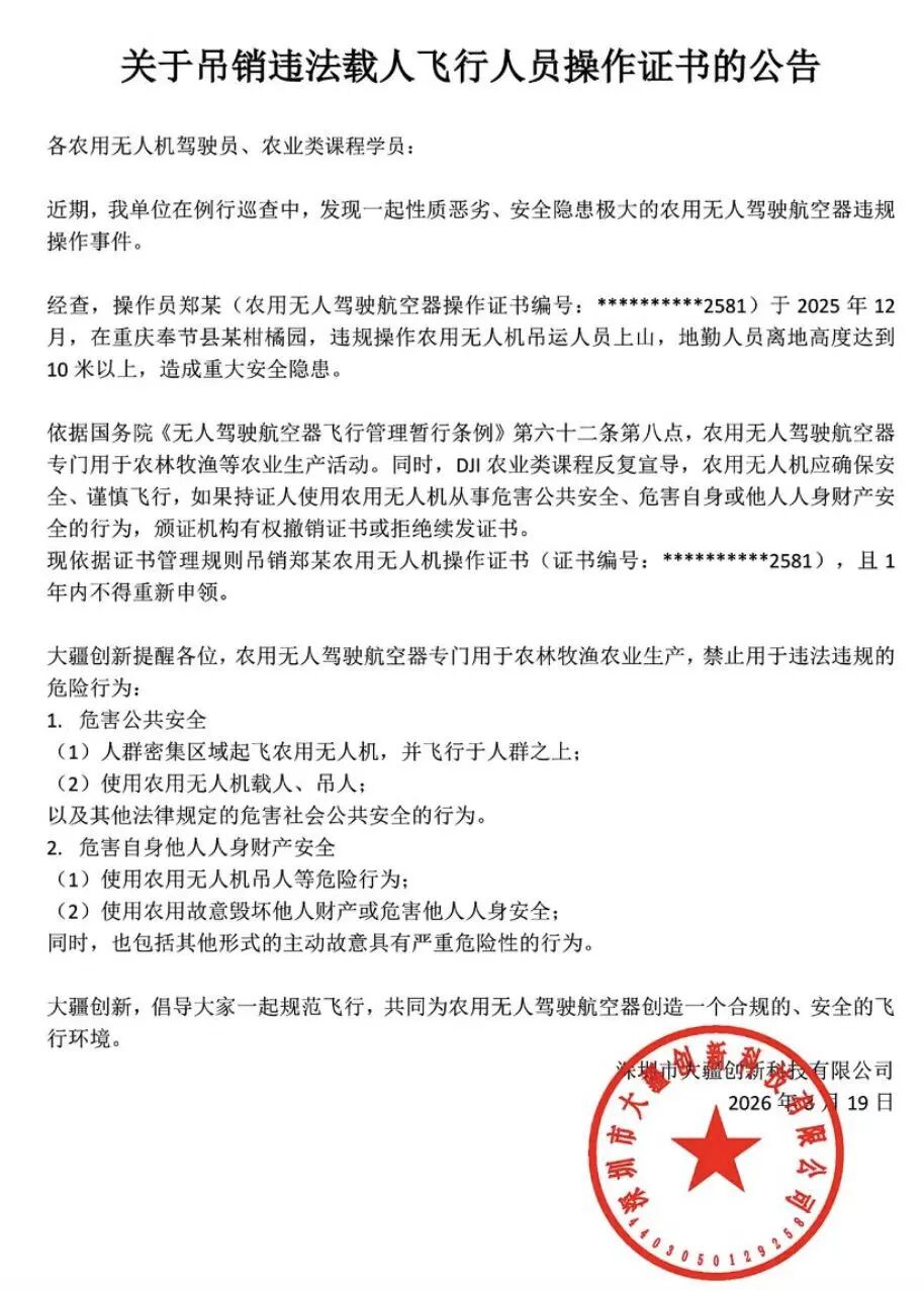
This is exactly why this red line has been drawn so clearly. At the end of last year, a drone operator in Fengjie, Chongqing, used an agricultural drone to lift a person up a mountain. He not only had his operation certificate revoked, but was also given an administrative penalty by local police.
In its official statement, DJI characterized the incident as "extremely malicious with severe safety risks."
Knowing full well the safety risks, why did Hengzhou in Guangxi make an exception this time?
Because the flood was incredibly severe.
The entire town of Yunbiao in Hengzhou lost all network, water, and power supplies, turning into a completely isolated island. All ground roads were submerged, and assault boats simply could not get close in the raging currents, while fire trucks were unable to enter the area. All conventional rescue methods failed completely here.
On the morning of July 6, a tanker truck in Yunbiao Town became trapped by the flood. The water level kept rising, and the current was so strong that no boat could approach it. The driver climbed onto the roof of the tanker, with churning muddy floodwaters beneath his feet. Firefighters operated a heavy-lift drone to lower a rope, hoisting the driver off the roof and away from the raging flood.
The next day, a resident with a chronic illness in Wangzhuang Village suddenly deteriorated and required immediate medical attention. But the entire village was surrounded by over 2 meters of floodwater, making it impossible for boats to get in. The Skyhawk Rescue Team deployed drones, combined with watercraft for a joint air-water evacuation, using a "hoisting" method to extract the patient and transport them directly to hospital.
In both of these rescues, the trapped people were facing heavy rain above and raging floodwaters below — every minute counted, and a single extra second of waiting could mean the difference between life and death.
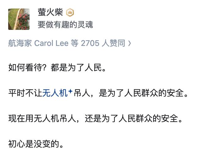
"Drones are prohibited from lifting people in principle, but people come before principles" — this phrase quickly became a trending topic after the rescue operations. The rule banning drones from lifting people exists to protect human safety, but when that very safety is already under direct threat, regulations should not become shackles.
AI-generated images created by netizens spread rapidly across social media: under the night sky, a massive drone hovers in the air, its searchlight cutting through the darkness, while ground rescuers look up to watch the trapped person land safely.
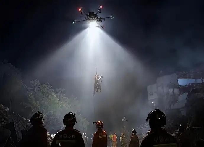
What's the difference between this and a superhero movie! "Absolutely epic" — "If this was a real shot, it would win a Pulitzer Prize."
Netizens also created a popular joke about the incident.
Firefighter: Can your drones lift people? DJI: No, they can only carry cargo under 200kg.
Firefighter: I'm asking if they can lift people? DJI: No, they can only carry cargo under 200kg. They are not certified for manned flight, which requires professional modification.
Firefighter: How do you modify them? DJI: Just cover up the logo.
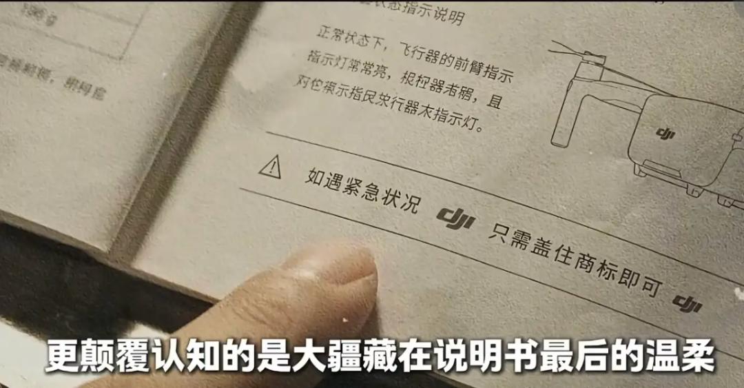
Because the logo represents the rules — cover it up, and prioritize saving lives first. In this rescue, people saw the best of technology and regulations: Technology serves humanity, and rules can be broken when absolutely necessary.

In fact, the most awe-inspiring part of this rescue is not just the scene of "drones lifting people." After the disaster struck, drone operators from all across China began converging on Hengzhou. According to Liang Weilei, a DJI Agriculture dealer in Hengzhou, at the peak there were over 300 drones operating simultaneously on site, with more than 400 operators participating. Some came from Shanxi, others from Hunan and Zhejiang, and some traveled even farther from Heilongjiang. They brought their own drones to the flood zone, forming an ad-hoc civilian rescue team.
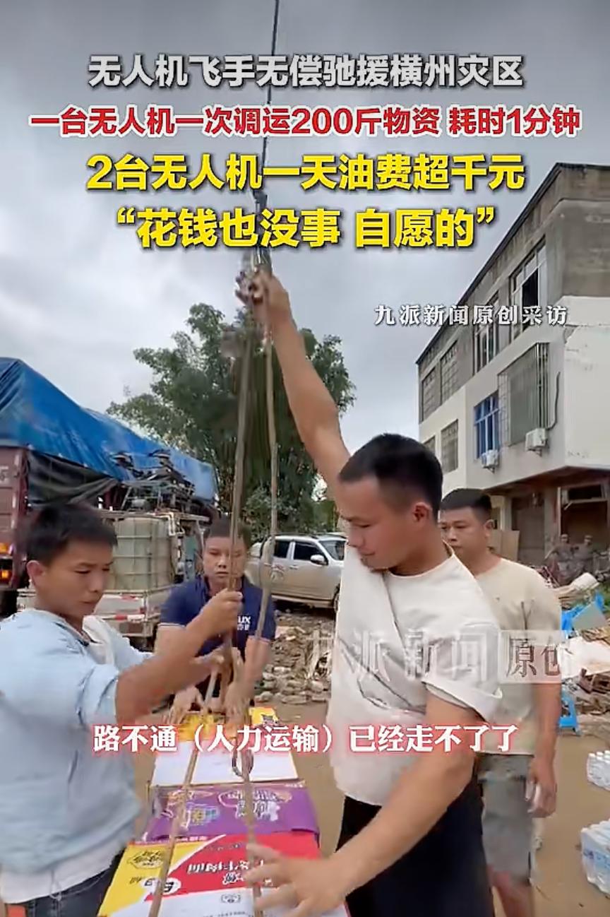
Chen Hengsong, a drone operator from Laibin, Guangxi, was one of the first to arrive on site. On July 6, after seeing a distress message online, he drove alone to Yunbiao Town, Hengzhou. His vehicle carried an industrial-grade drone, multiple spare batteries, and a diesel generator. Over the following days, he traveled across multiple affected areas with his drone, continuously participating in rescue missions.
From thousands of kilometers away in Yichang, Hubei, other drone operators also rushed to the scene overnight. On the evening of July 7, Song Younian and his partner Huang Rongtang saw the distress calls from the disaster area online, and immediately drove to Hengzhou, covering the 1100+ kilometer journey nonstop through the night. Later, Yichang Zenong Intelligent Agricultural Equipment Co., Ltd. organized 4 more operators to travel to the frontline with FC200 drones. After arriving in Hengzhou, 23-year-old Song Younian worked continuously for over 60 hours, participating in nonstop rescue missions.
Operators used their drones to deliver supplies into the disaster zone again and again: bottled water, bread, instant noodles, emergency medication — items that are commonplace on normal days became life-saving hope for trapped residents in this crisis. A single drone could deliver dozens of kilograms of supplies per trip, making dozens of round trips every day. Thanks to the drones, 400 pig farm employees who had been stranded for days were able to eat hot, freshly cooked noodles.
By July 8, drones had delivered over a thousand tons of supplies to trapped residents.
How would rescuers have gotten into these areas in the past?
There were no roads. The flood swallowed all highways, rural paths, and farm tracks, leaving the routes marked on maps completely submerged underwater with no reference points to follow. Even with assault boats, it was impossible to maintain direction in the raging currents — near the stranded tanker on July 6, rescue boats tried multiple times but simply could not get close. Just a few years ago, facing a disaster that cut off all roads, water, and communications, rescue teams would have had to wade through floodwaters, row boats manually, and carry all supplies on their shoulders.
A box of water, a bag of rice — getting these from the distribution point to a trapped village might require being passed between rescuers three or four times, climbing over half-submerged hills, and detouring around washed-out bridges. By the time supplies arrived, a full day could have already passed.
This is why so many people say: the power of technology has been made tangible right here.
02: How Are Drones Even Capable of Lifting People?
In many people's minds, a drone is just a flying camera, not much different from a remote-controlled toy car — one that could crash if it hits a tree, or get lost mid-flight.
So when a massive drone appears above the floodwaters and evacuates a full-grown adult from a dangerous zone, many people's first reaction is: Wait a minute... when did drones evolve to this level?
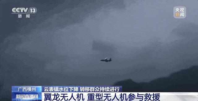
In reality, the consumer drones most people see are just the smallest members of the drone family. The models that actually participated in this rescue include agricultural drones, heavy-lift transport drones, and emergency communication drones.
Agricultural drones are normally used for tasks like pesticide spraying and seeding. Their maximum takeoff weight is capped at 149.9 kilograms, and popular models like the DJI T100S have a maximum lifting capacity of 95 kilograms.
Moreover, to operate safely in complex farmland environments (avoiding power lines and trees), they are fully equipped with extremely robust capabilities.
Taking the DJI T100S as an example: it is fitted with a 256-line LiDAR system that emits 256 laser beams simultaneously, generating hundreds of thousands of 3D point cloud points every second. You can imagine it as continuously casting a precise, fine-mesh net in all directions — any object that touches this net will be accurately detected and recorded.
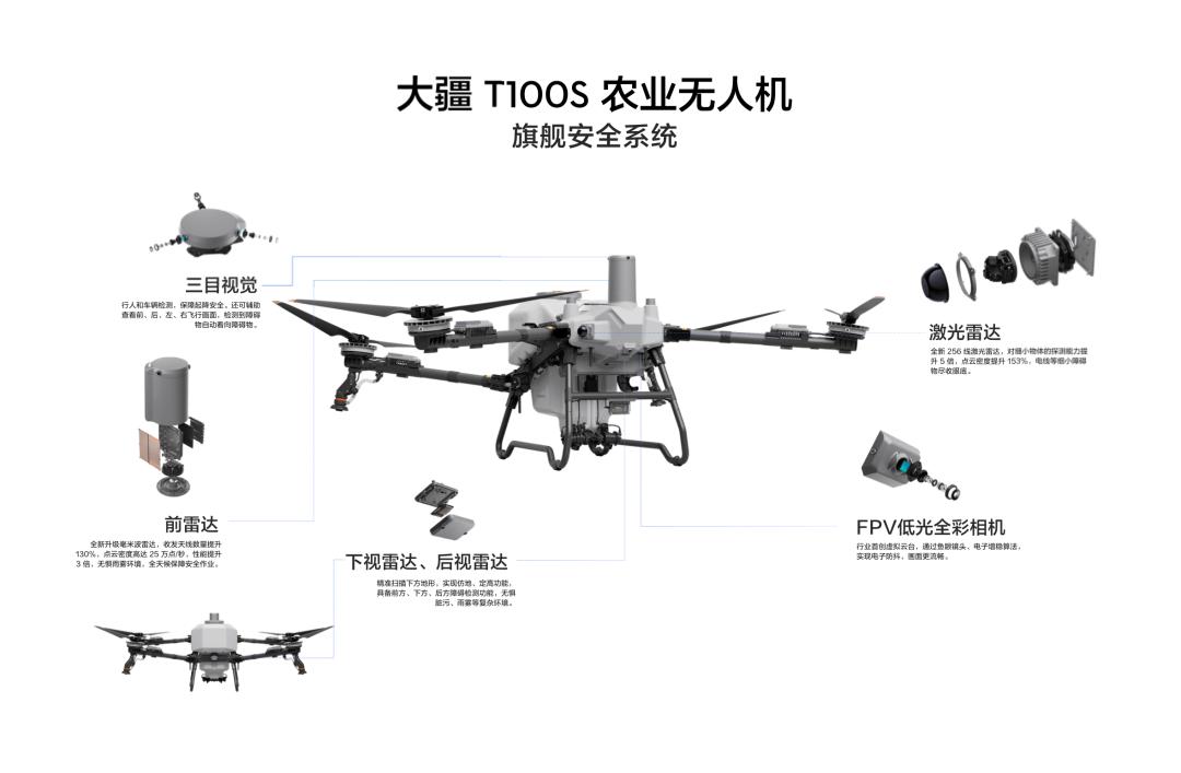
After detection, this information is transmitted to the onboard computer, and the processed point cloud data forms a high-precision 3D terrain map, clearly showing the exact positions of power lines and